
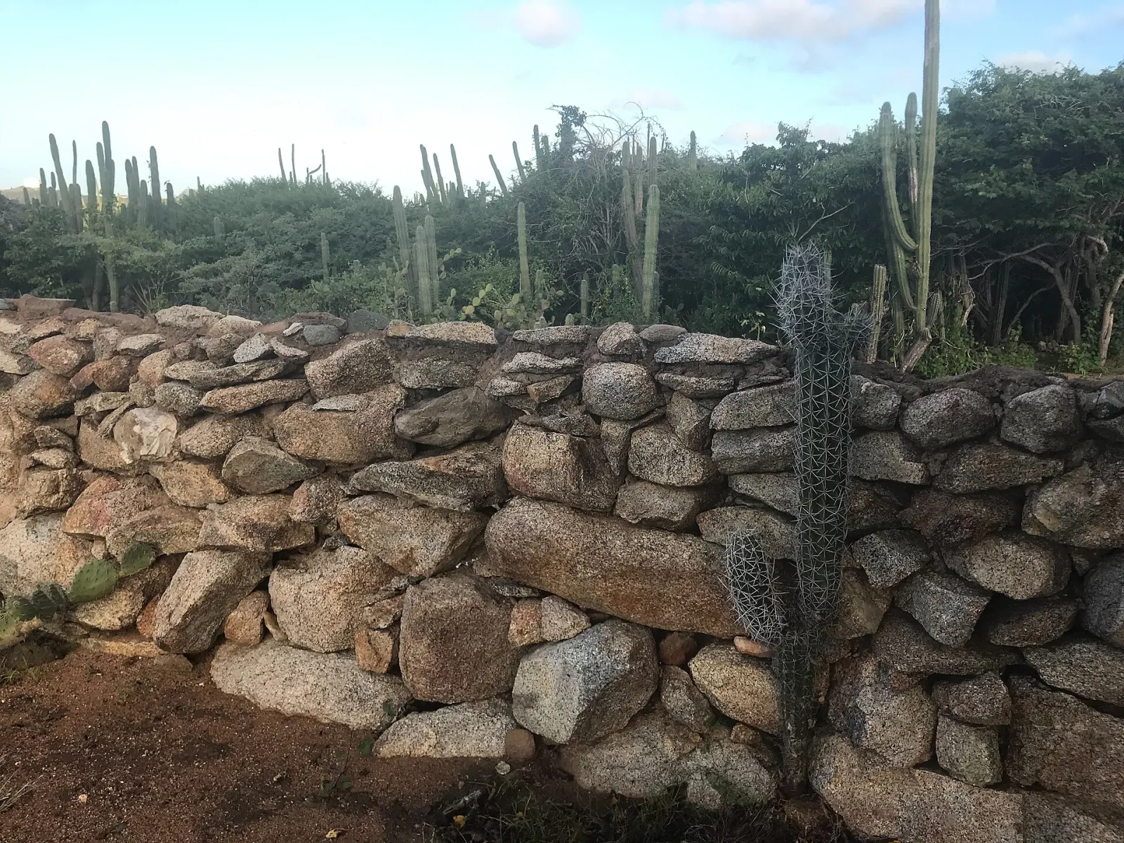
Hiking in Arikok
Trails through Arikok National Park, from the easy Cunucu Arikok loop to Jamanota, Aruba's 188 m high point, with ranger-led hikes, the park pass and heat advice.
Arikok National Park covers about 34 km² of hills, dry riverbeds (rooi) and wild coast in the east of Aruba and holds the island's best hiking. The Aruba Conservation Foundation (ACF), which manages it, runs guided hikes on four trails — from a 2 km easy walk to a 7.5 km hard route to the coast — and every visitor needs a conservation pass (US$ 22 per adult in 2026; under-17s free).
Which trails can you hike?
The ACF's guided hikes (US$ 25 per hike in 2026, maximum 10 people):
| Trail | Distance | Time | Difficulty | Suggested start |
|---|---|---|---|---|
| Miralamar | 2 km | 1.5 h | Easy | 8:00 |
| Cunucu Arikok | 5 km | 1.5 h | Easy | 8:00 |
| Jamanota Hill | 4.8 km | 2 h | Hard | 8:00 |
| Rooi Tambu & Dos Playa | 7.5 km | 3.5 h | Hard | 7:00 |
Jamanota, at 188 m, is the highest point of Aruba. Miralamar passes the area of the old gold mines, which closed in 1916. Cunucu Arikok crosses the former plantation from which the park grew. Rooi Tambu & Dos Playa follows a dry riverbed down to the north-east coast. Experienced hikers can also walk to the Natural Pool (Conchi), a round trip of 3–4 hours according to the tourism authority.
When is the best time to hike?
Early. The ACF suggests starting at 7:00 or 8:00, and the San Fuego visitor centre opens at 8:00 (ticket sales until 15:30). Average daily maximums are 30–31 °C from December to March and 32–33 °C from May to October, according to the Departamento Meteorologico Aruba; there is little shade on any trail. February to June is the driest period; the rainy season (roughly September–January) brings short showers that can make rocky paths slippery.
What will you see?
Rock outcrops create microclimates for species found only on Aruba, such as the cascabel rattlesnake, Baker's cat-eyed snake and the Aruban whiptail lizard, plus the Aruban burrowing owl and the Aruban parakeet (prikichi). Arawak drawings decorate Fontein Cave, which can be visited only with a guide, and Quadirikiri Cave lies in the south of the park. Boca Prins is a sea-turtle nesting beach backed by dunes.
What are the park rules?
Stay on trails and park roads, take nothing (plants, animals, rocks), do not stack stones, do not fly drones, keep quiet, and leave dogs and other pets at home — domestic animals are not allowed in. Violations are punishable under AB 2000 no. 59. Swimming on the north-east coast is dangerous: currents are strong.
What do people commonly misjudge?
Water: carry at least 2 litres each, even for the short loops. Footwear: the ground is loose rock and cactus spines; wear closed shoes, not sandals. Distance: 5 km in 33 °C sun is harder than it sounds. Combine a morning hike with lunch in Santa Cruz or a jeep drive on the park roads, and see the 7-day active itinerary for a full plan.
Where to go
Know before you go
- Start at 7:00 or 8:00. These are the ACF's suggested start times; by late morning the rocks radiate heat and there is almost no shade.
- Book a ranger hike. ACF guided hikes cost US$ 25 (2026) for groups of up to 10 and explain the geology, plants and wildlife along the way.
- Leave pets at home. Dogs, cats and other domestic animals are not allowed in the park.
- Watch your step near cactus. Spines and loose rock line most trails; closed shoes and a small first-aid kit with tweezers help.
FAQ
How much does it cost to hike in Arikok?
The conservation pass is US$ 22 per adult in 2026 (under-17s free; reduced rate for residents of Aruba, Bonaire and Curaçao). A guided hike with the ACF costs a further US$ 25.
What is the hardest hike in Arikok?
The ACF rates Rooi Tambu & Dos Playa (7.5 km, about 3.5 h, start 7:00) and Jamanota Hill (4.8 km, about 2 h) as hard.
Can you hike to the Natural Pool?
Yes, for experienced hikers: the tourism authority gives 3–4 hours for the round trip. Swim only when the sea is calm and follow ranger advice.
More things to do
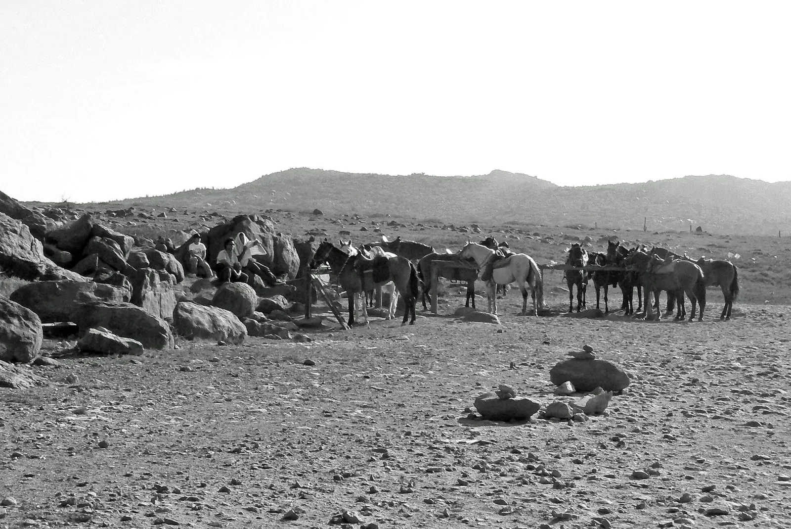
Horseback riding
Guided rides through Aruba's cactus country and along the rugged north coast, including routes to the Natural Pool in Arikok, mostly on gaited Paso Fino horses.
1–3 h
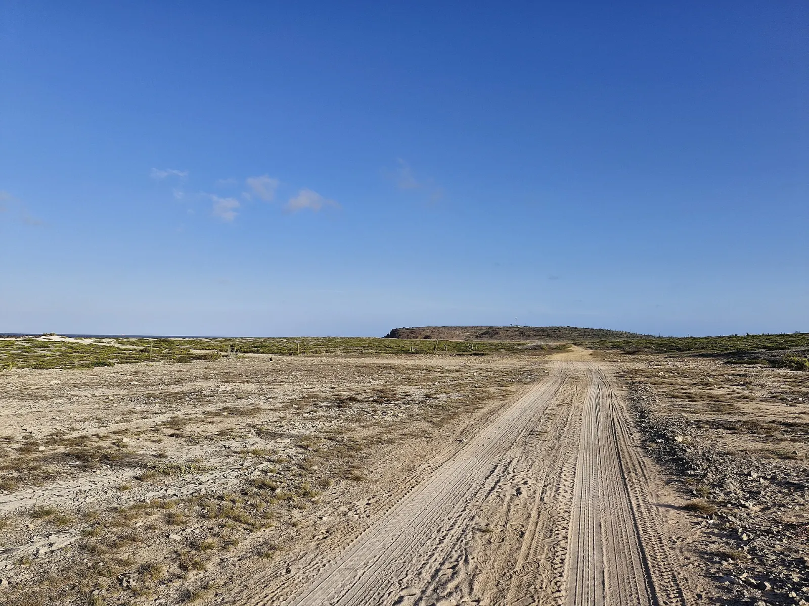
Jeep & UTV tours
Exploring Aruba's rugged north and east coasts by 4×4: where jeeps may drive, why ATVs and UTVs are banned from protected nature areas, and the Arikok park rules.
3–8 h
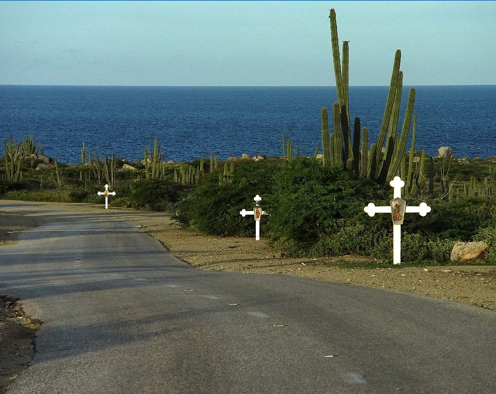
Island highlights drive
A self-drive day loop around Aruba: California Lighthouse, Alto Vista Chapel, the Bushiribana gold mill, Ayo and Casibari rocks, Hooiberg, Arikok and Baby Beach.
6–8 h