
Explore Aruba
One island, many sides
Aruba is a 179 km² island in the southern Caribbean, 29 km north of Venezuela's Paraguaná Peninsula, about 32 km long and 10 km across at its widest. Calm resort beaches line the sheltered west and south coasts, while the windswept north-east holds the cactus hills, caves and wild shore of Arikok National Park.
Areas
Pick an area to explore
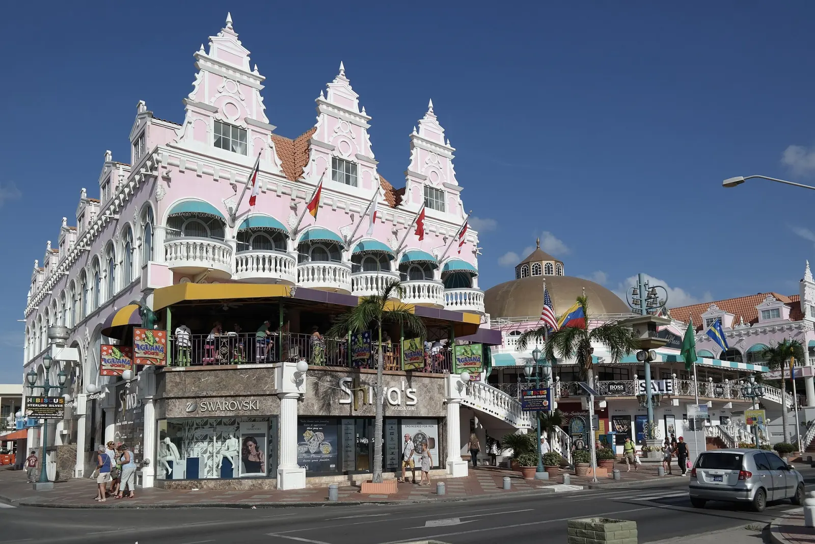
Oranjestad
Aruba's capital on the south-west coast, grown around Fort Zoutman (1798) and the old Paardenbaai harbour. Come for the museums, the Dutch-colonial streets and the cruise-port waterfront, all within walking distance.
Eagle Beach & Druif
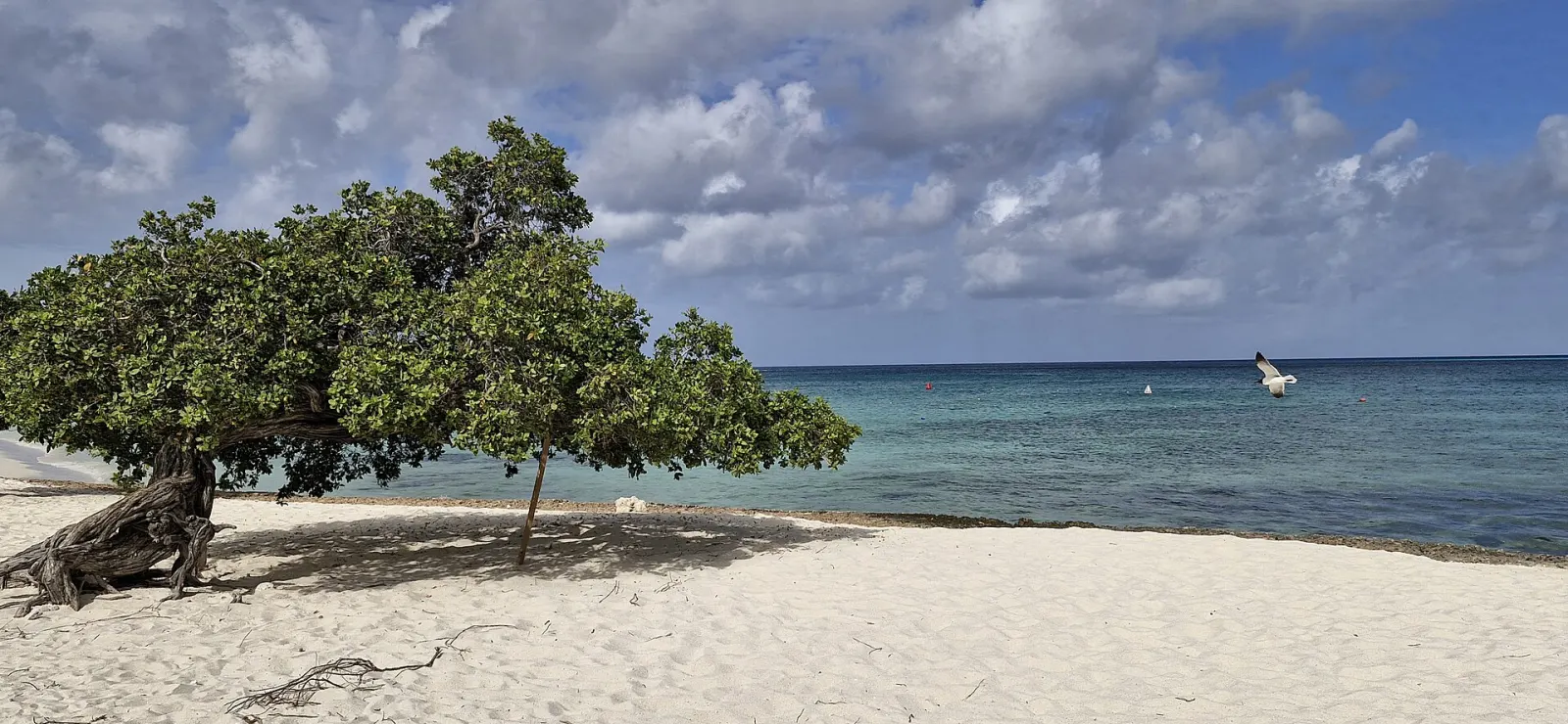
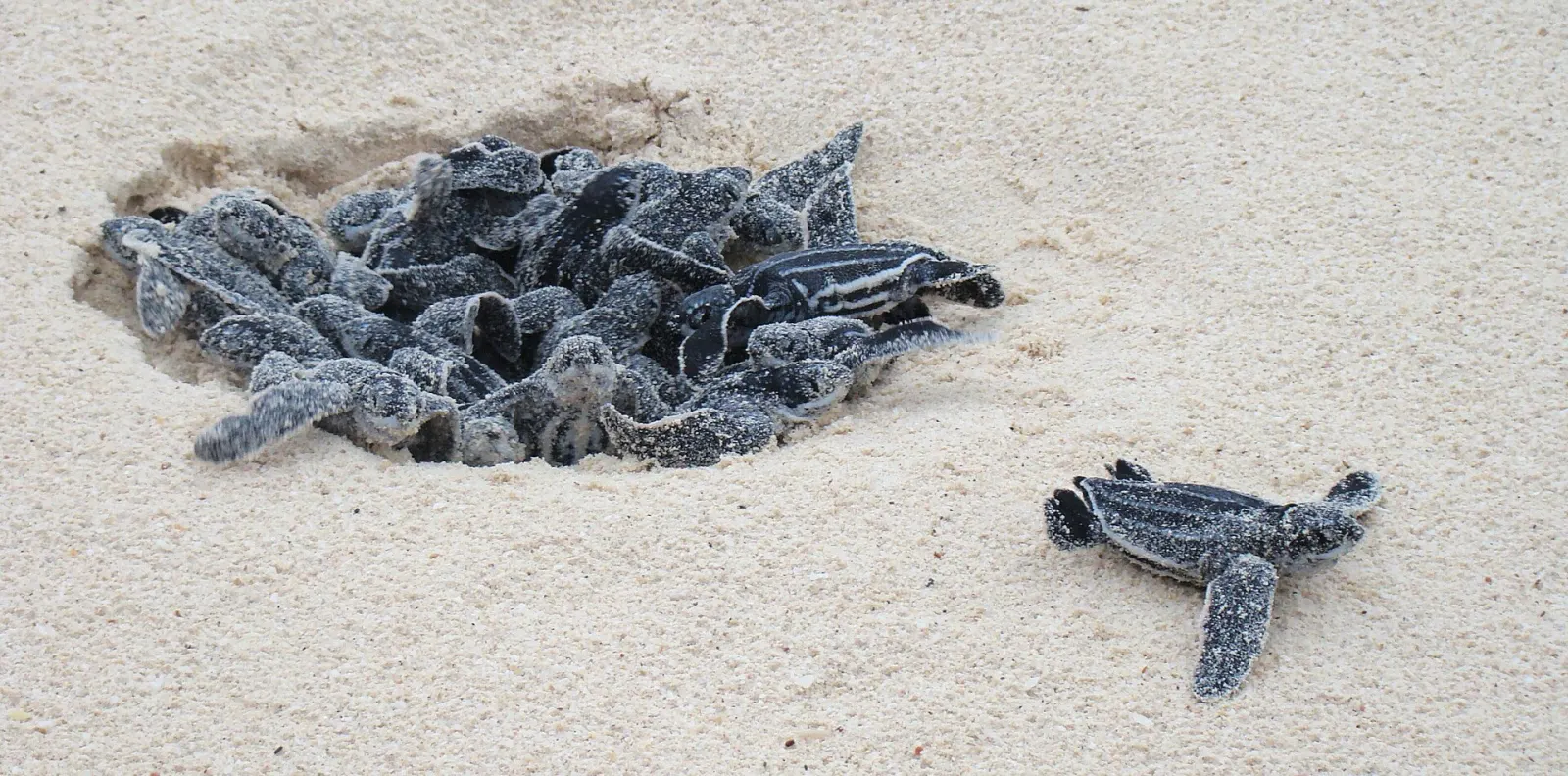
The low-rise resort coast just north-west of Oranjestad, from Druif to Eagle Beach, the widest beach on Aruba. Come for space on the sand, the famous fofoti trees and the island's busiest sea-turtle nesting beach.
Palm Beach & Noord
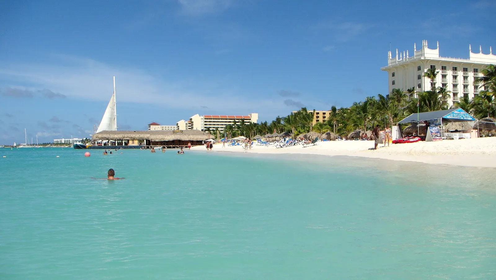
Aruba's main resort strip, a calm two-mile beach about 6 km north-west of Oranjestad, backed by the inland district of Noord. Come for easy swimming, piers and water sports, restaurants and malls, the Bubali bird sanctuary and Alto Vista Chapel.
Malmok & the north-west tip
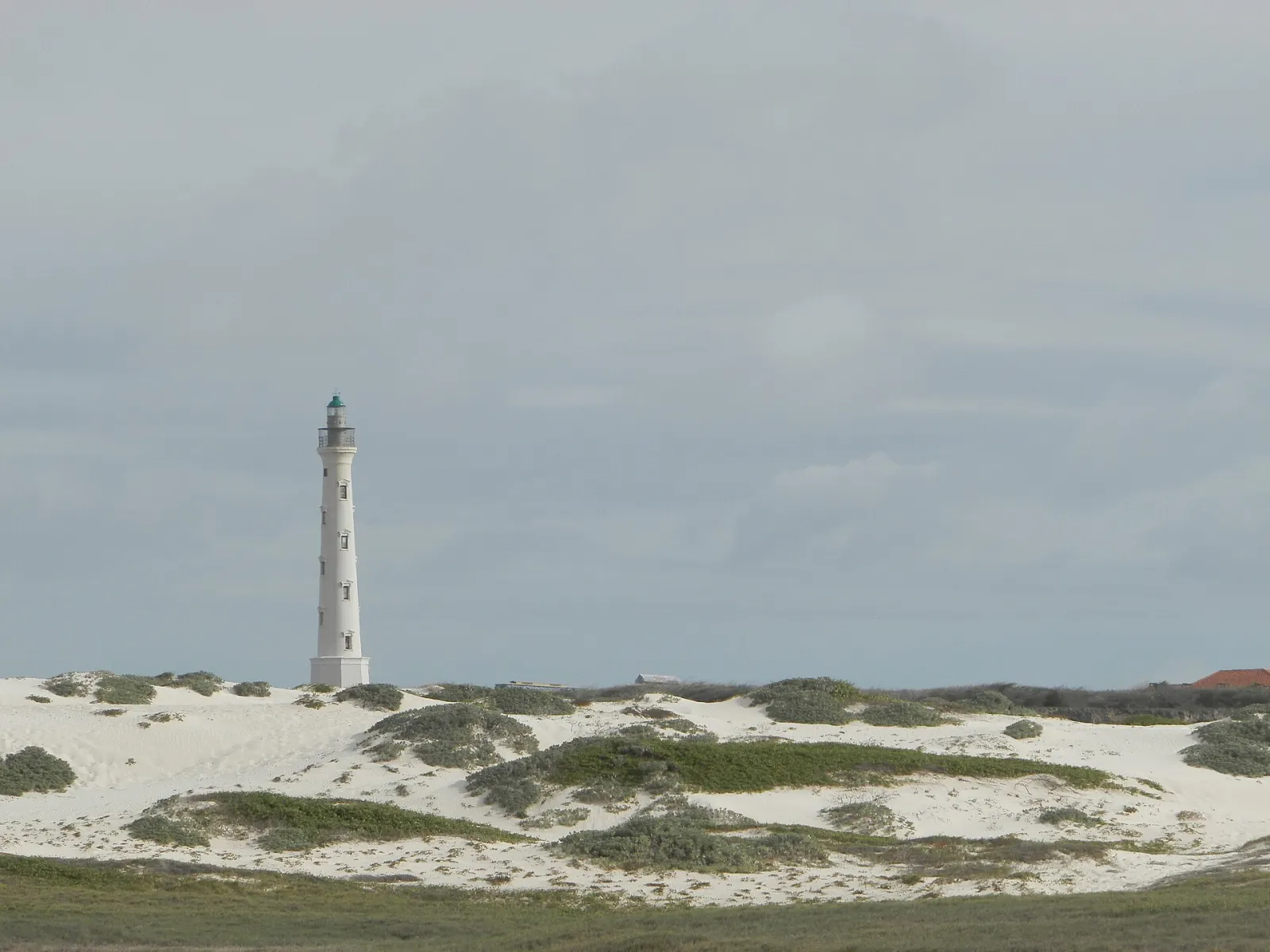
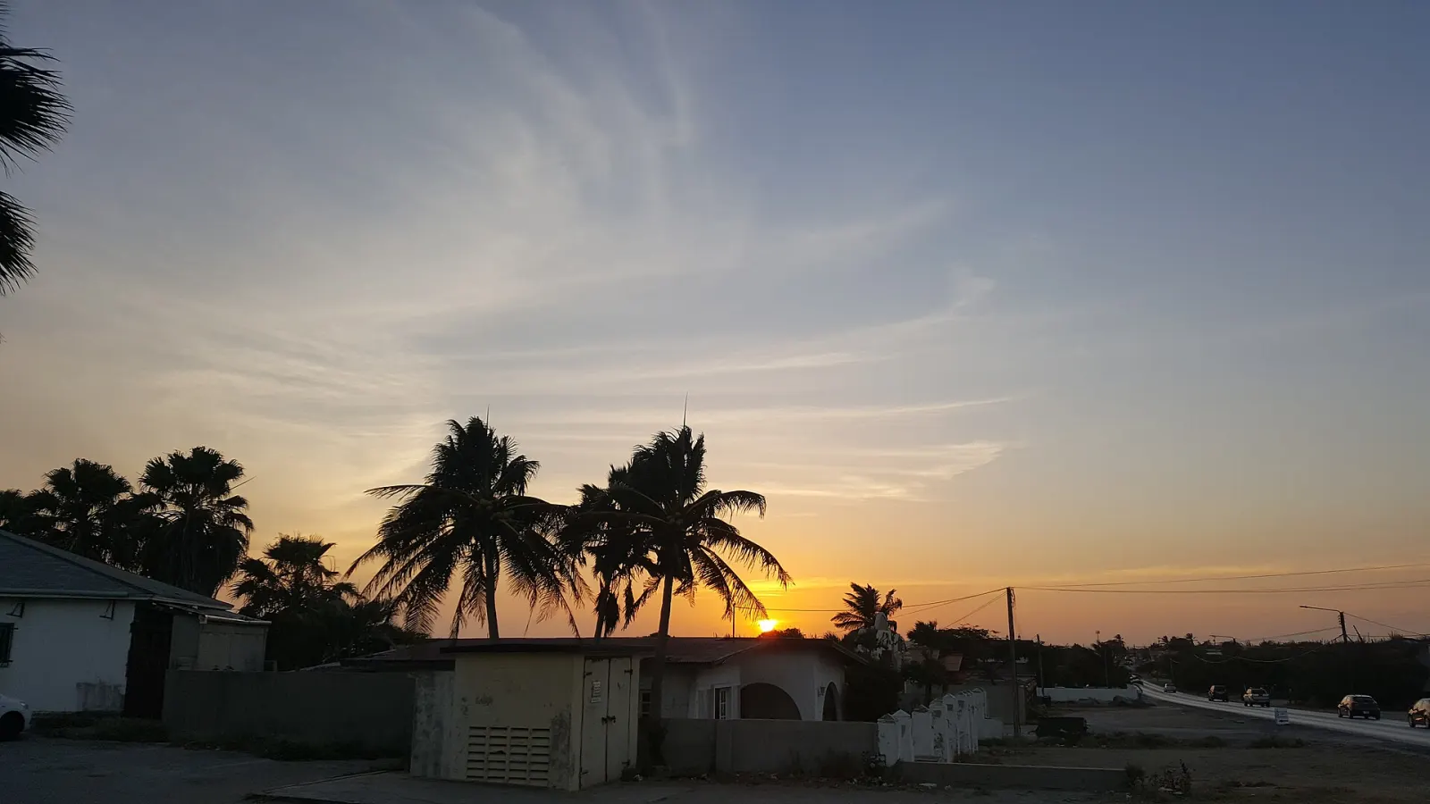
The quiet end of the west coast beyond Palm Beach: Hadicurari's wind-sports beach, the Malmok shoreline, the snorkelling coves of Boca Catalina and Arashi, and California Lighthouse on the Hudishibana plateau. Best for snorkelling, wind sports and sunset views.
Paradera & Santa Cruz
Aruba's interior between the resort coast and Arikok: the Casibari and Ayo boulder fields with Amerindian rock art, the 165 m Hooiberg, the Bushiribana gold-mill ruins and everyday villages. Best for a half-day of short climbs, history and local food.
Arikok National Park
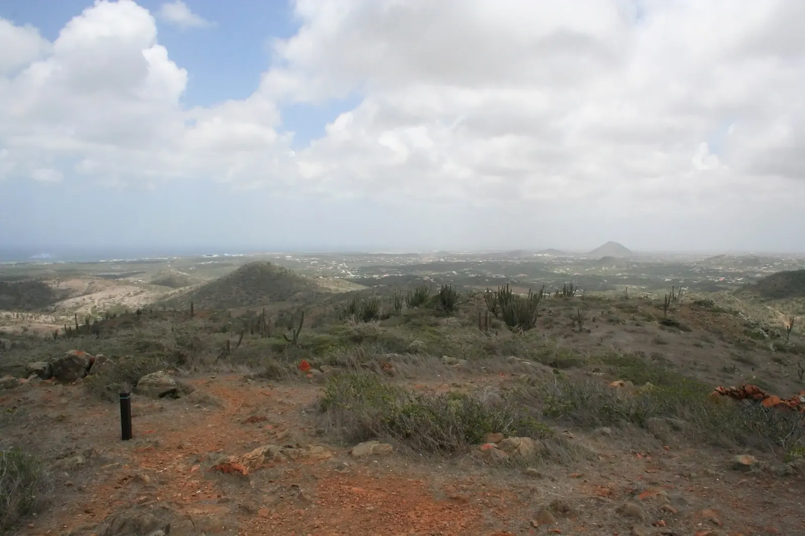
The protected north-east of Aruba: 34 km² of cactus hills, caves with Amerindian drawings, gold-mine ruins and a wild Atlantic coast with the Natural Pool. Come for hiking, geology and wildlife — with an entry pass, an early start and respect for the rules.
Savaneta
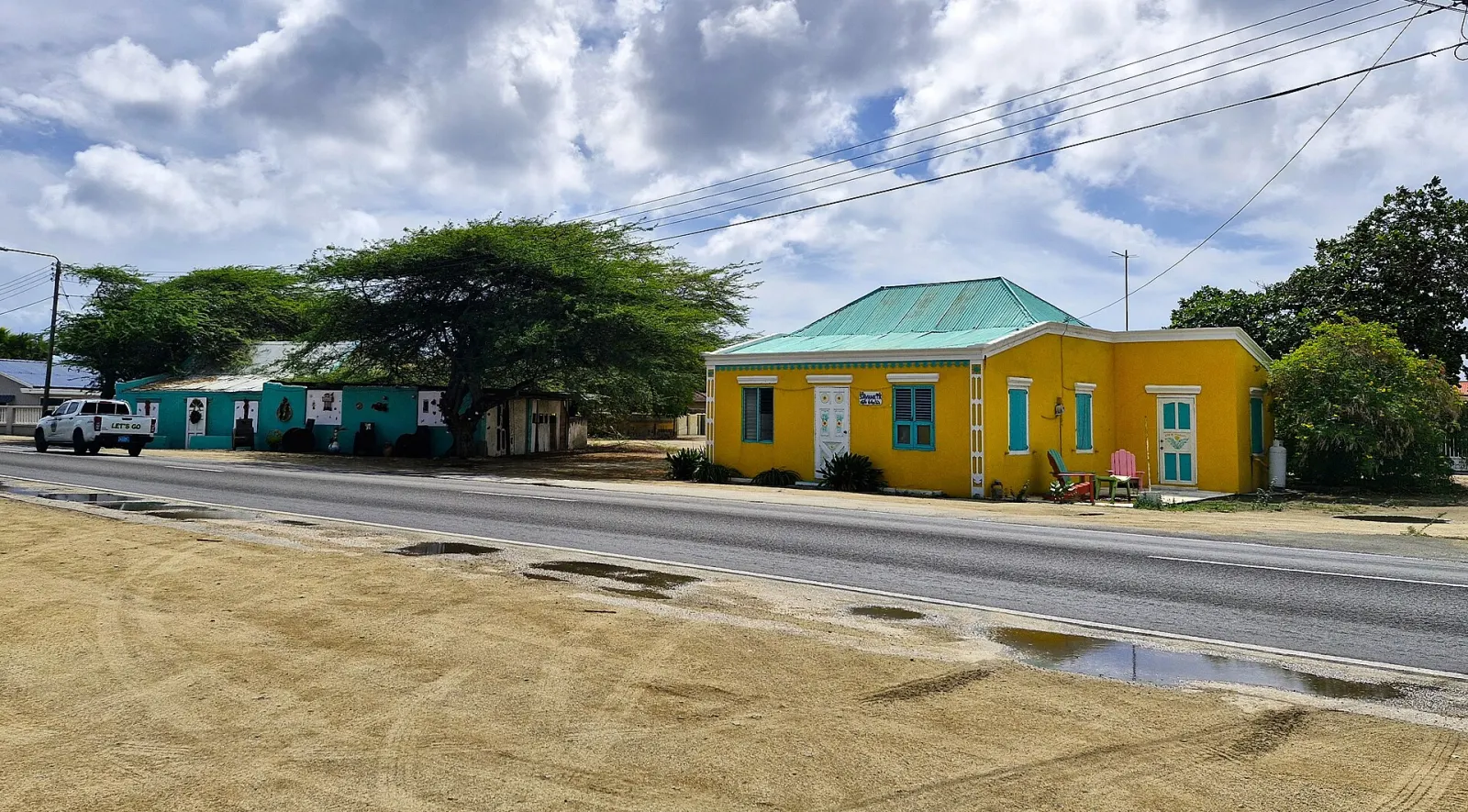
A quiet fishing village on Aruba's south coast and the island's capital until 1797, about 20 minutes from Oranjestad. Come for the mangrove shallows of Mangel Halto, fresh fish by the water and a slower, residential side of Aruba.
San Nicolas
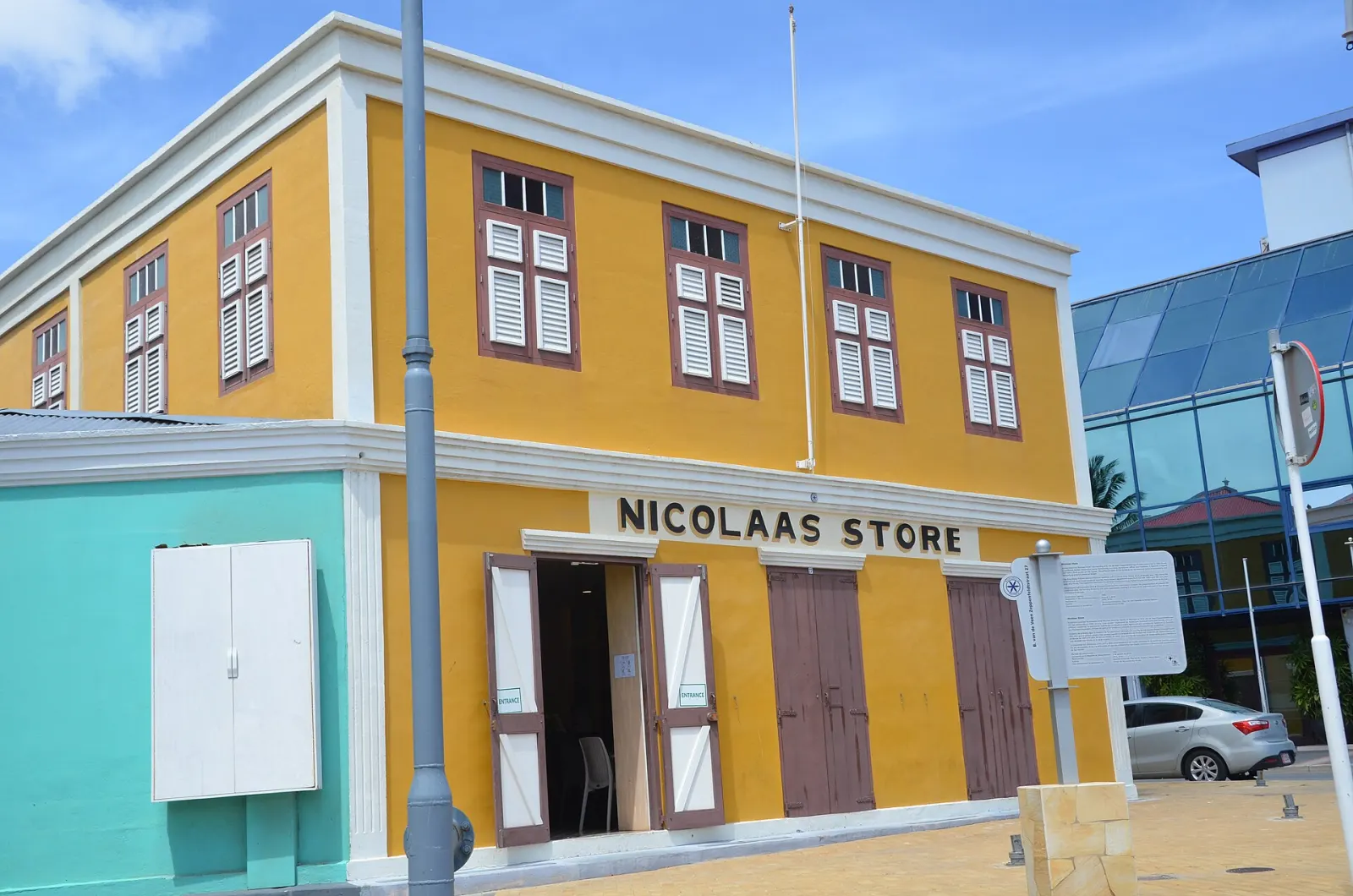
Aruba's second city, 19 km south-east of Oranjestad, built around the Lago oil refinery (1924–1985). Come for more than 50 street murals, Caribbean music and Carnival traditions, and the calm water of Baby Beach at the island's southern tip.
Culture & history
The story of the island
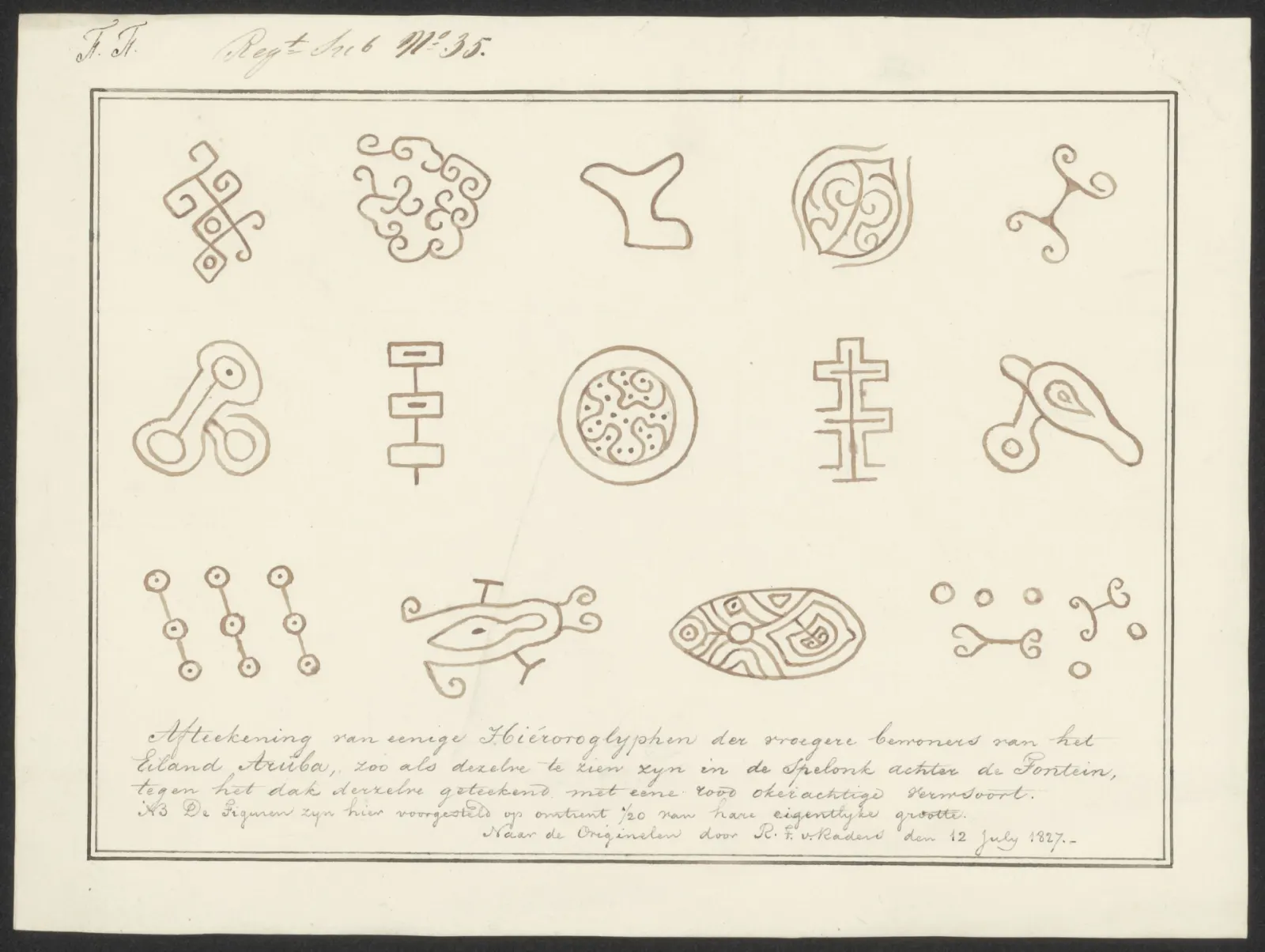
First peoples & rock art
Arawak-speaking Caquetío people reached Aruba from present-day Venezuela between about 850 and 1000 AD, after earlier archaic groups. Their drawings survive at Fontein Cave and the Ayo rocks.
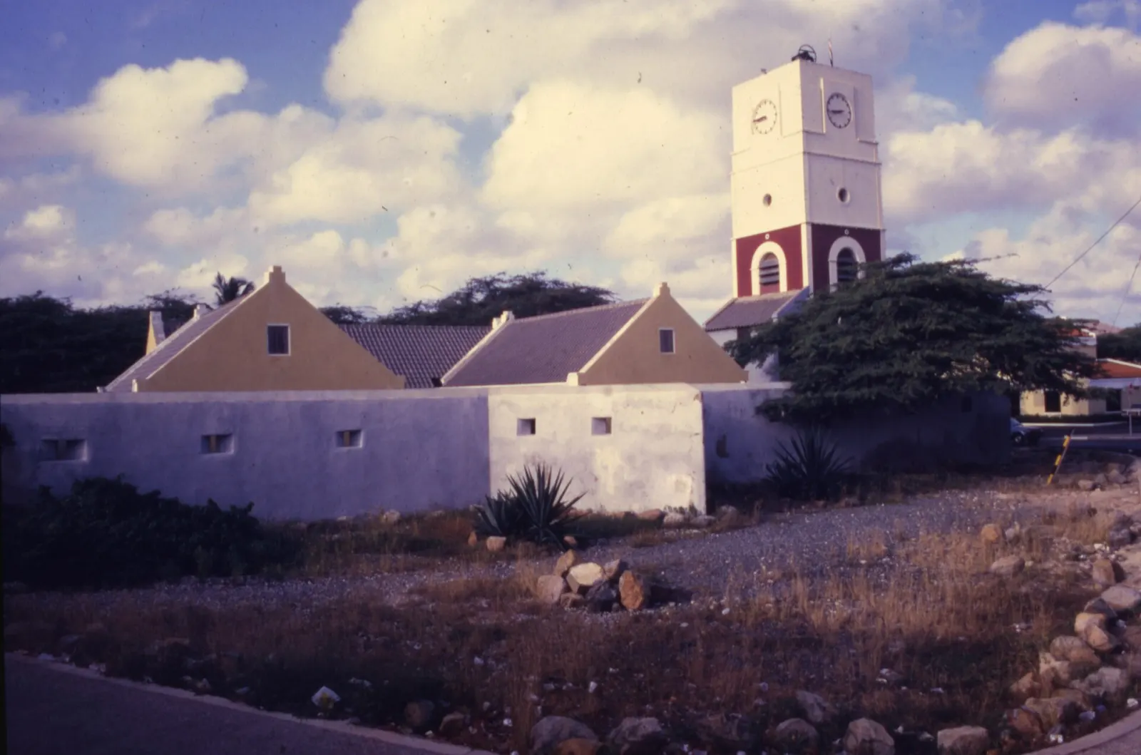
Spanish, then Dutch
Spain claimed the island around 1500 and deported most Caquetío to Hispaniola in 1513–1515. The Dutch took over in 1636; Fort Zoutman, built in 1798, is Aruba's oldest building.
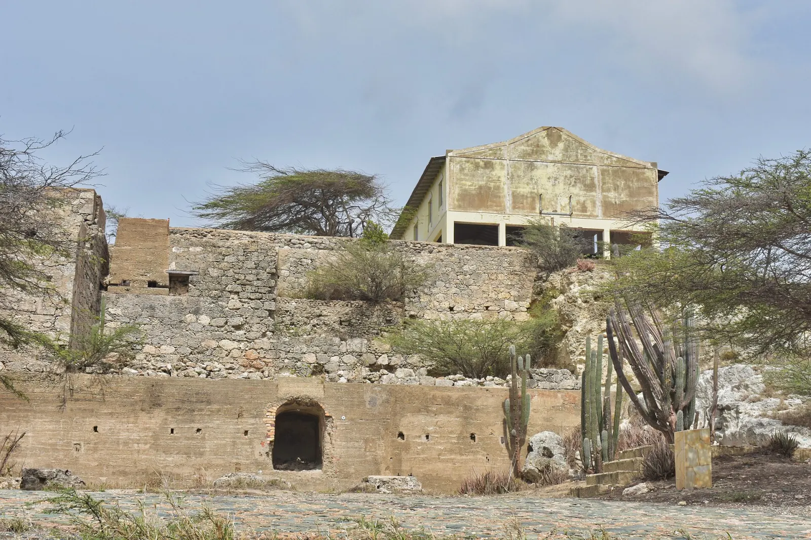
The gold rush
In 1824 a 12-year-old herder, Willem Rasmijn, found gold. Mills followed at Bushiribana (1825) and a smelter at Balashi (1899); mining ended in 1916.
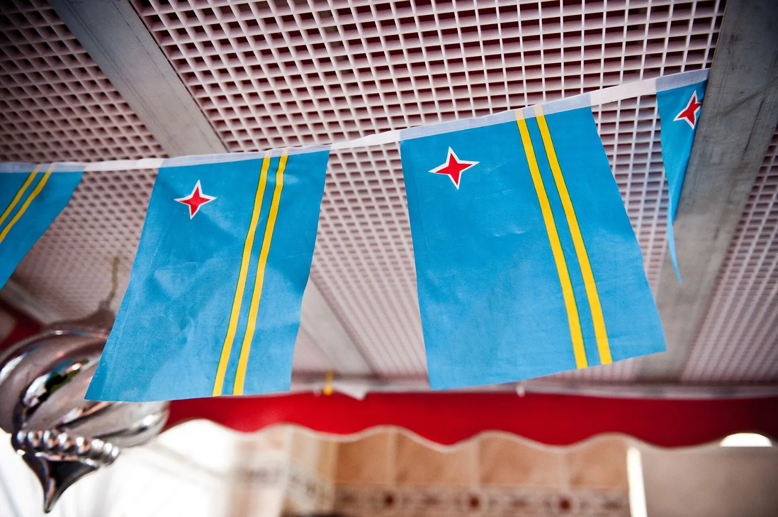
Status Aparte, 1986
On 1 January 1986 Aruba left the Netherlands Antilles and became a separate country within the Kingdom of the Netherlands — the goal of Betico Croes, who gave the island its flag and anthem in 1976.
Nature
Desert island wildlife
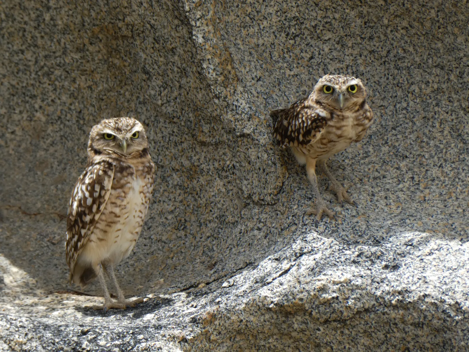
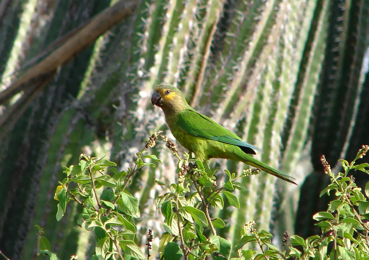
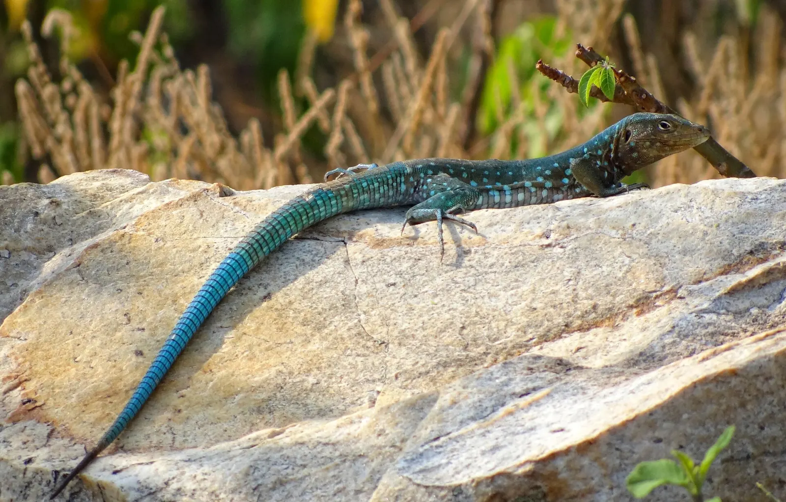
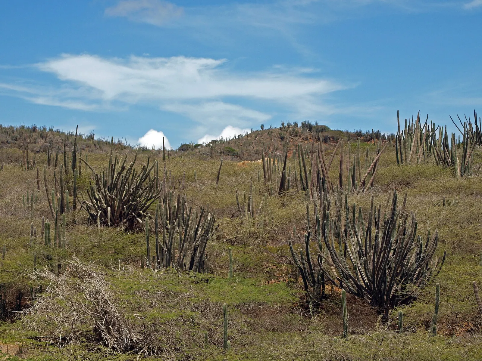
Aruba's dry climate shapes a landscape of tall cactus, divi-divi trees bent by the trade winds and limestone coast. Look out for these locals:
Speak a little Papiamento