
Casibari Rock Formations
Giant tonalite boulders in Aruba's interior, north of Hooiberg, with steps and narrow passages up to a 360° lookout over the island.
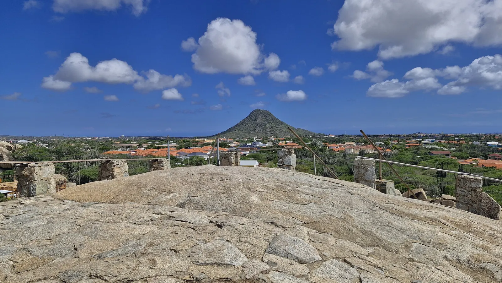
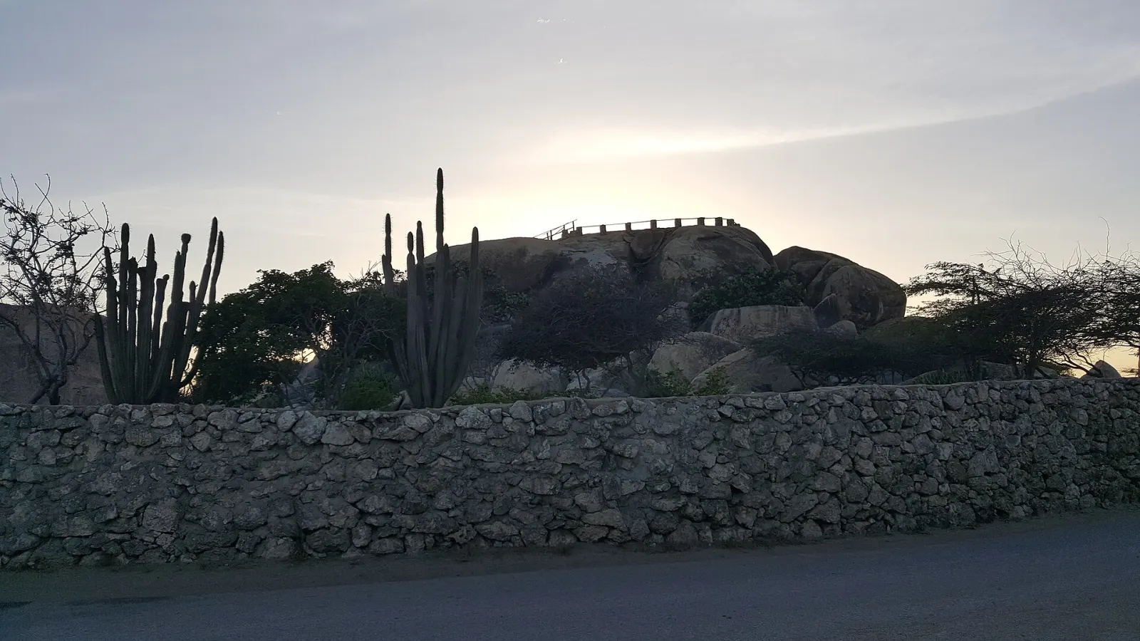
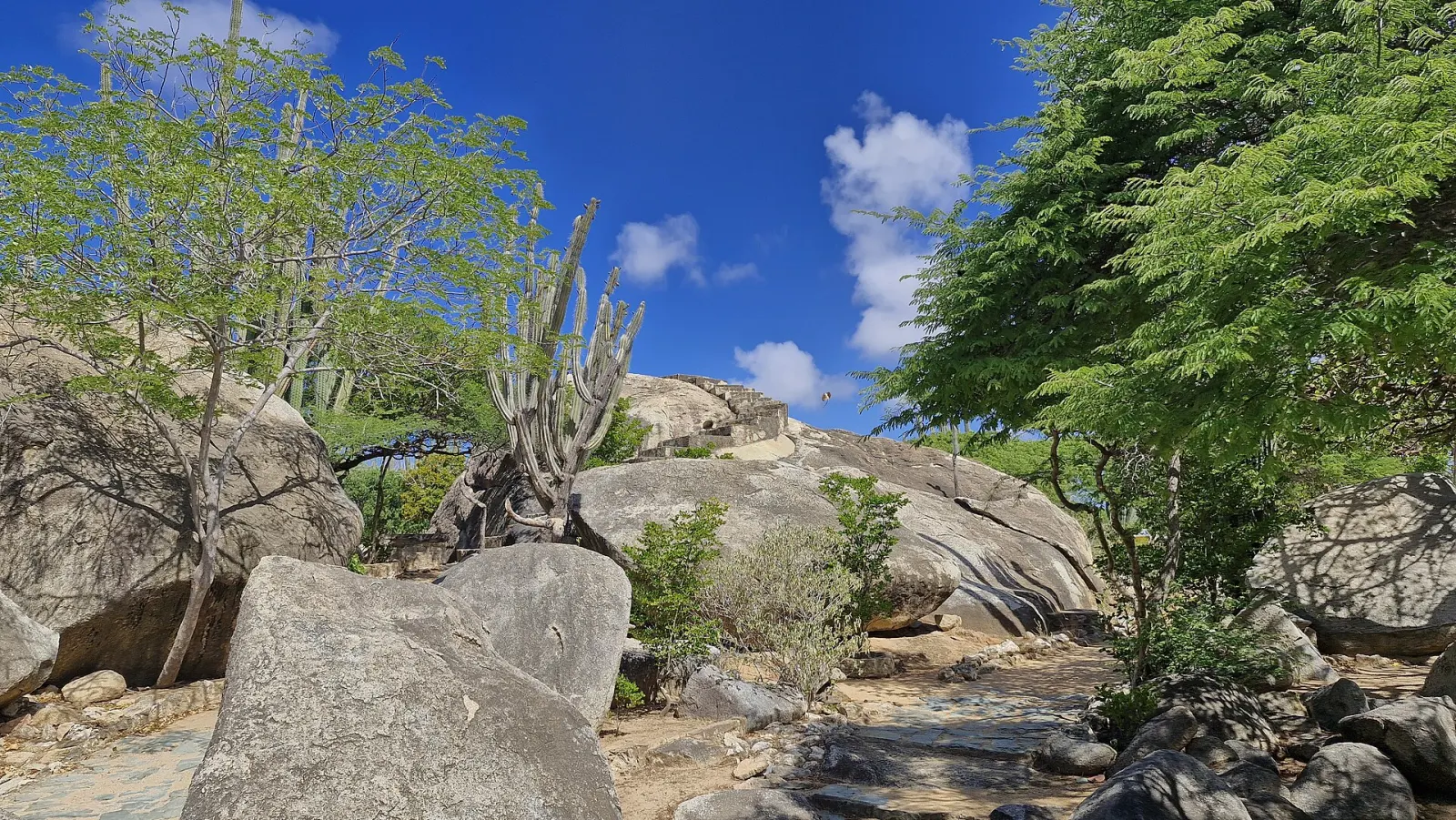
Casibari is a cluster of huge, rounded tonalite boulders rising out of the flat cactus country of Aruba's interior, about 1.5 km north of Hooiberg in the Paradera district. A short circuit of steps, railings and narrow gaps between the rocks leads to the top, where you look across the whole island. It is one of the quickest and most rewarding stops on an interior drive.
How were the Casibari boulders formed?
Aruba's interior is a worn-down plain of diorite and tonalite — igneous rock from the Aruba batholith that cooled deep underground and was later exposed by erosion. Where the rock weathered into rounded blocks, clusters such as Casibari and Ayo were left standing above a landscape that averages only about 40 m above sea level. The Aruba Tourism Authority (ATA) notes that geologists still discuss exactly how these boulder piles took shape. The name is of Arawak origin; one reading is "where there are good stones".
What is the climb like?
Short but tight. Paths and steps wind around and between the boulders, sometimes through low, narrow passages where only one person fits at a time. At the entrance a formation is known as the Dragon's Mouth. The reward at the top is a 360° view over the cunucu (countryside) to the coast and Hooiberg's cone; on clear days the coast of Venezuela is said to be visible.
When is the best time to visit?
Go early in the morning or late in the afternoon. The rock absorbs heat and there is little shade on the top, and the light at these hours brings out the texture of the stone. Midday is also when tour groups tend to stop. Lizards — including the bright blue-green whiptail — are common on the warm rocks; watch, don't feed.
Good to know
- The site sits in a residential area just off the road between Oranjestad and Santa Cruz; follow the signs for Casibari.
- ATA mentions a small snack bar with shaded seating at the site.
- Wear shoes with grip: the granite-like surfaces are smooth and the steps are uneven. It is not suitable for wheelchairs.
- Do not climb outside the marked paths or add stones to cairns.
Casibari pairs naturally with Ayo Rock Formations, a few minutes east, and with Hooiberg to the south. All three fit into an island highlights drive or a half-day in the interior.
Don't miss
Getting there
From Oranjestad take the road inland towards Santa Cruz; Casibari is signposted on the left in the Paradera district, roughly 1.5 km north of Hooiberg, and reached on paved residential streets. Any car is fine and there is parking at the site.
Local tips
- Go before 10:00. The boulders heat up fast and the top has little shade; mornings are cooler and quieter.
- Leave the bag in the car. Some passages are tight and low. Carry only water and a phone — but lock valuables out of sight.
- Combine the interior trio. Casibari, Ayo and Hooiberg are minutes apart by car — an easy half-day loop.
Things to do here
Nearby
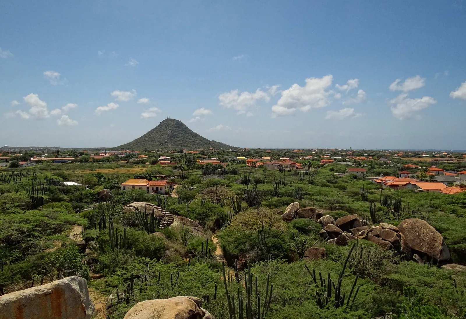
Hooiberg
Aruba's cone-shaped 165 m 'haystack' hill in the middle of the island, climbed by a stairway of roughly 600 steps to a panoramic summit.
Huchada Bakery & Lunchroom
Local bakery in a cunucu house near Santa Cruz, known for pastechi, goat soup and cashew cake; opens at 6 a.m. Monday to Saturday.
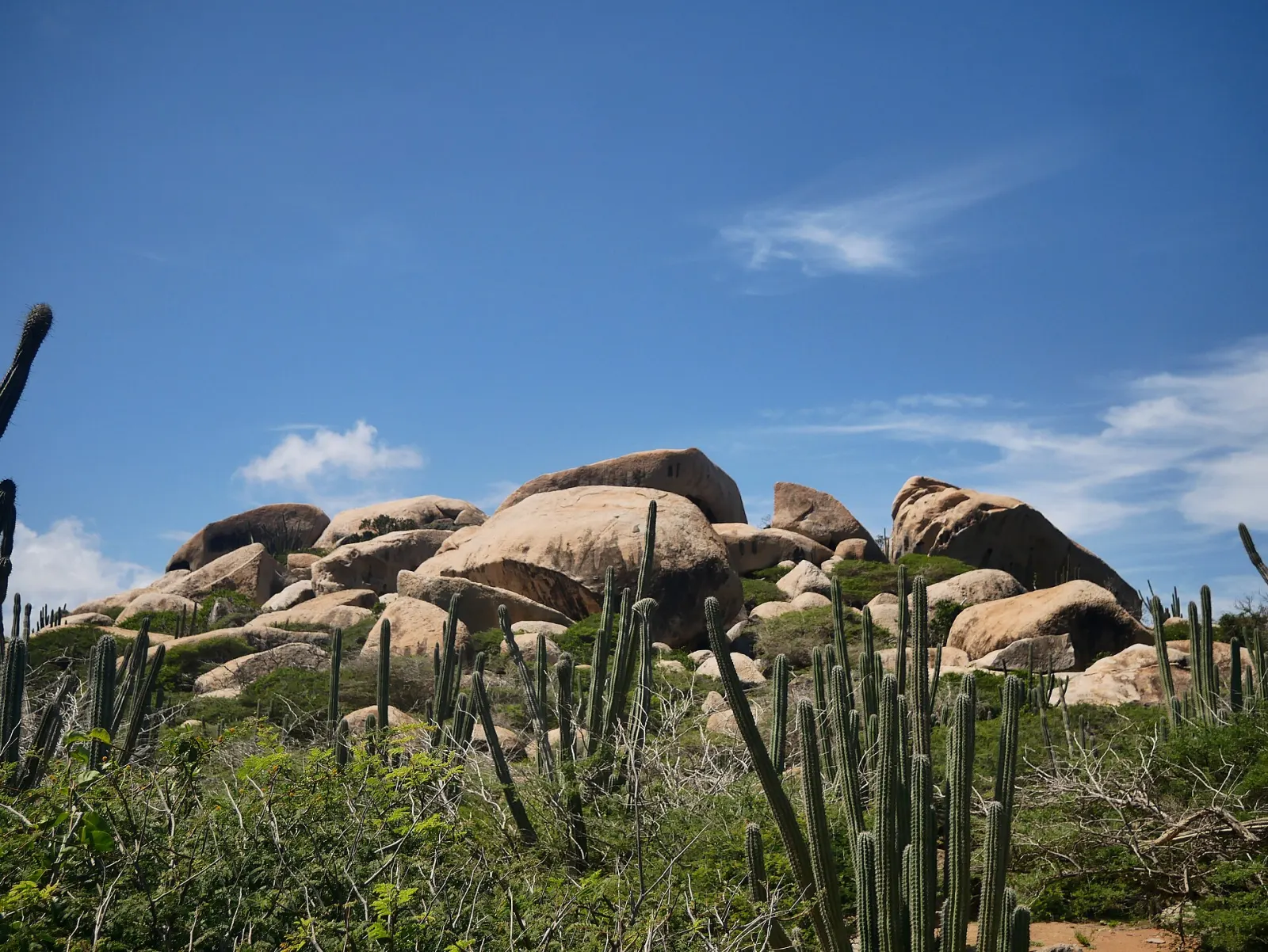
Ayo Rock Formations
Piles of giant diorite boulders near Ayo village where Aruba's Amerindian inhabitants left rock paintings — quieter than Casibari, with short walking paths.
More sights
Hooiberg
Aruba's cone-shaped 165 m 'haystack' hill in the middle of the island, climbed by a stairway of roughly 600 steps to a panoramic summit.
Ayo Rock Formations
Piles of giant diorite boulders near Ayo village where Aruba's Amerindian inhabitants left rock paintings — quieter than Casibari, with short walking paths.
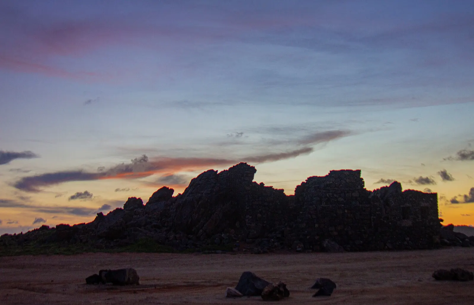
Bushiribana Gold Mill Ruins
Stone ruins of an 1870s gold-processing mill on Aruba's wild north coast — open ground, free, and fragile: walls are partly collapsed.