
Boulders, Hooiberg & villages
Paradera & Santa Cruz
Aruba's interior between the resort coast and Arikok: the Casibari and Ayo boulder fields with Amerindian rock art, the 165 m Hooiberg, the Bushiribana gold-mill ruins and everyday villages. Best for a half-day of short climbs, history and local food.
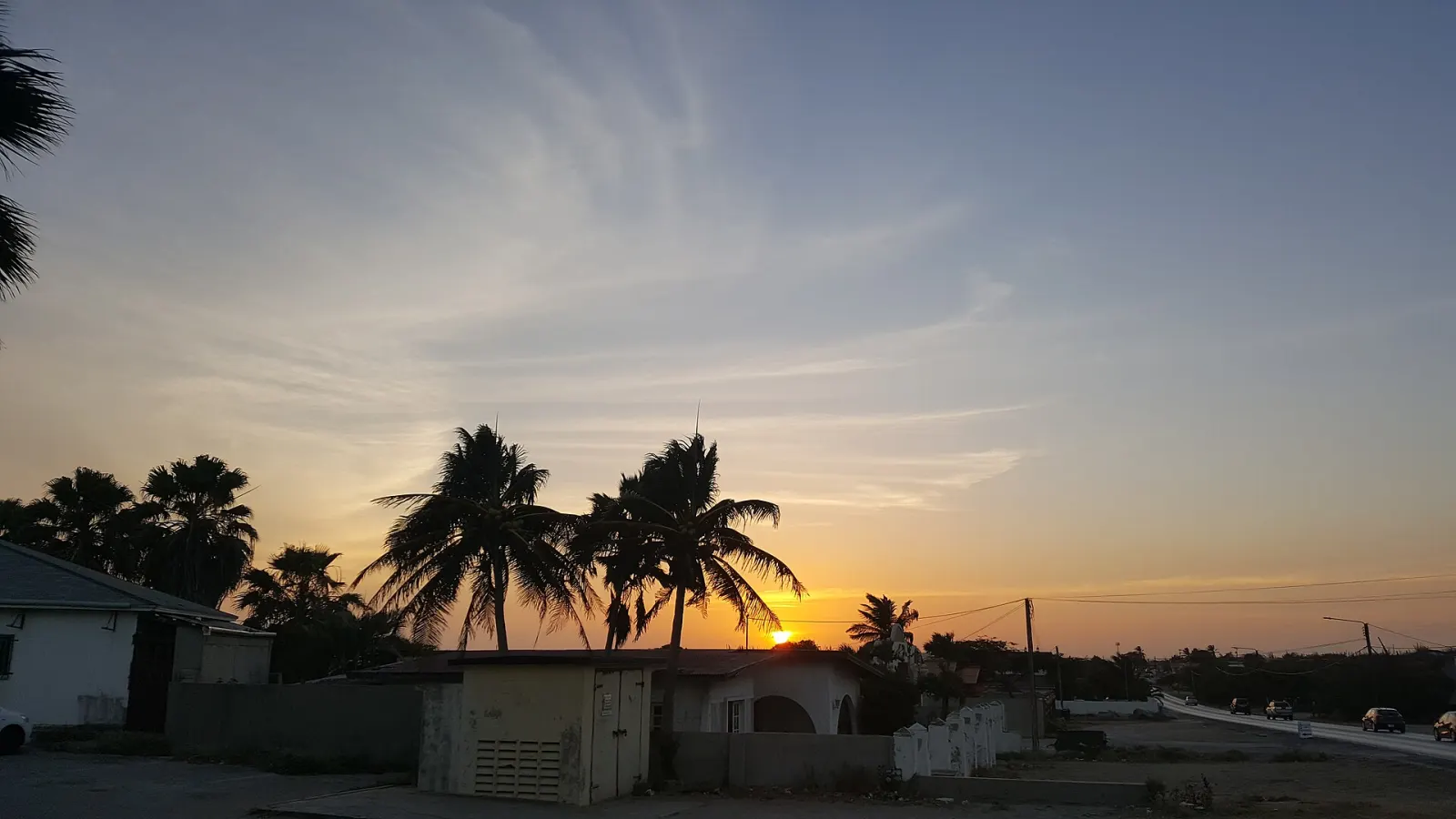
Paradera and Santa Cruz form the centre of Aruba: the dry, cactus-covered interior between the west-coast resorts and Arikok National Park. This is where the island's best-known rock formations, its signature hill and much of its everyday village life are found, all within 10–15 minutes' drive of Oranjestad. There are no large hotels here — just vacation rentals, local restaurants and roads lined with cunucu houses.
What is there to see in Paradera?
Paradera is a census region of about 12,000 people (12,024 in 2010) that includes the settlements of Ayo, Bloemond, Piedra Plat and Shiribana. Its sights are geological and archaeological:
- Casibari Rock Formations — huge tonalite boulders just off the main road to Santa Cruz, with trails and steps that let you climb to the top for a 360° view.
- Ayo Rock Formations — a second boulder field where you can see rock drawings left by the island's Amerindian inhabitants.
- Hooiberg — the conical hill at the island's heart, 165 m high according to Wikipedia (the tourism authority gives 540 ft). Hundreds of steps lead to the top — sources quote anything from 550 to about 600 — and on a clear day the view covers much of Aruba. Its Dutch name means “haystack”.
- St. Philomena's Church — the Catholic church that dominates Paradera's low skyline.
On the north coast, the Bushiribana Gold Mill Ruins recall the gold rush that began in 1824, when a 12-year-old herder, Willem Rasmijn, found gold on the island. The mill was built in 1825 by the Aruba Island Gold Mining Company to process ore from the nearby hills.
What is Santa Cruz like?
Santa Cruz covers 41 km² and had 12,870 inhabitants in 2010. About half of the district is family neighbourhoods, bakeries, grocery stores and local restaurants; the eastern part is taken up by Arikok National Park. It is the birthplace of Betico Croes, the political leader behind Aruba's status aparte; his statue stands at the central intersection, and on his birthday, 25 January, the town celebrates Betico Croes Day. The neighbourhood of Macuarima is named after an Amerindian chief, and at Bringamosa the Donkey Sanctuary Aruba, founded in 1997, cares for donkeys that were once the island's main transport.
When is the best time to visit?
Go early. The boulders and the Hooiberg steps are fully exposed to the sun and the rock heats up quickly; by late morning the climbs are hard work. Late afternoon is the second-best window. The trade winds make the tops of Casibari and Hooiberg breezy — hold on to hats and phones.
How does it fit into a day?
The interior links easily with other areas. A common loop is Casibari and Ayo in the morning, Bushiribana on the north coast, then lunch in Santa Cruz before entering Arikok at the San Fuego entrance. Our island highlights drive follows a similar route.
What do people misjudge?
- Footwear. Steps at Casibari are narrow and some passages between boulders are tight; flip-flops are a poor choice.
- The north coast. Bushiribana stands on the windward coast, where surf and currents make swimming dangerous.
- Respect for the rock art. Do not touch or trace the drawings; skin oils and scratching damage them.
- Unpaved tracks. Some roads towards the north coast are rough; check your rental terms before leaving the tarmac.
For travellers who want to see how Arubans live away from the resort strip, Paradera and Santa Cruz are the most rewarding half-day on the island — and the place to try a bowl of sopi di carni, the local beef soup the tourism authority recommends.
Paradera & Santa Cruz
Beaches, sights and food in Paradera & Santa Cruz
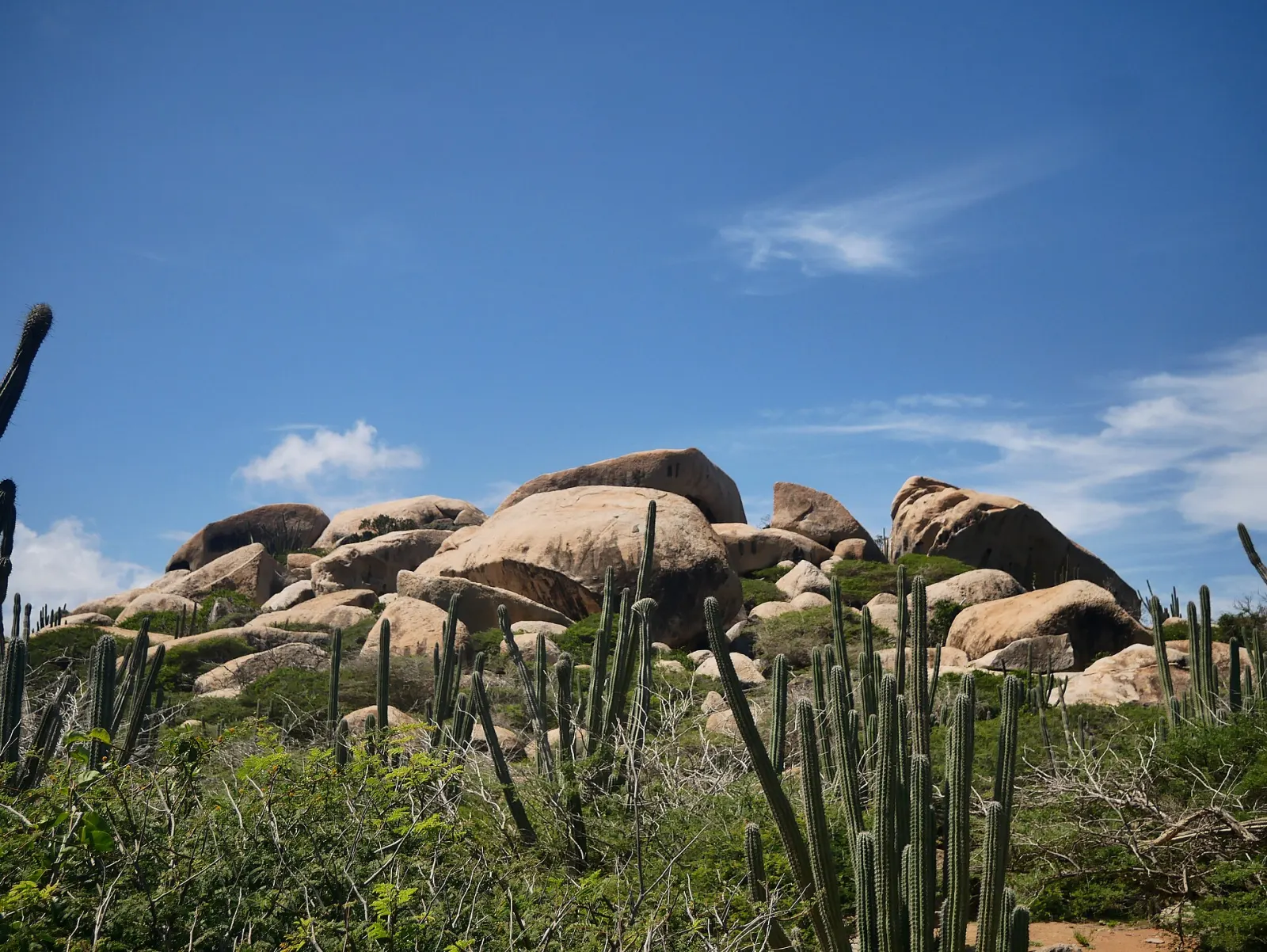
Ayo Rock Formations
Piles of giant diorite boulders near Ayo village where Aruba's Amerindian inhabitants left rock paintings — quieter than Casibari, with short walking paths.
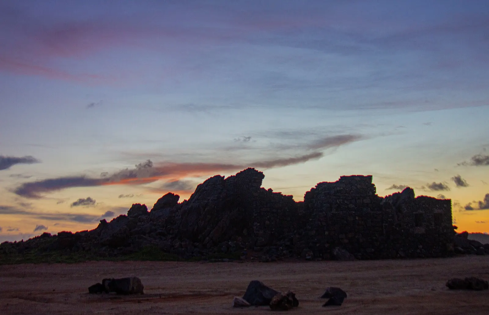
Bushiribana Gold Mill Ruins
Stone ruins of an 1870s gold-processing mill on Aruba's wild north coast — open ground, free, and fragile: walls are partly collapsed.
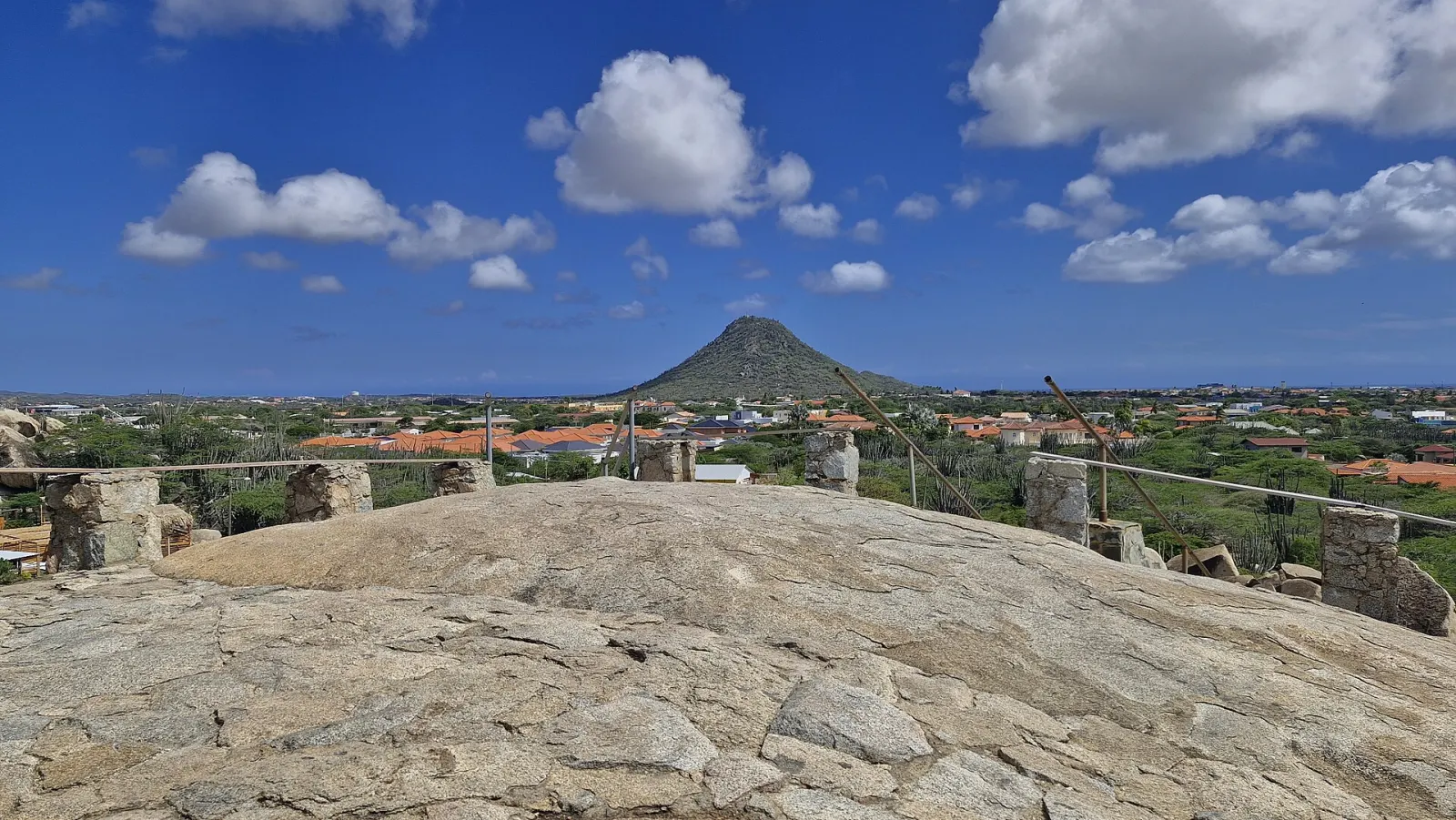
Casibari Rock Formations
Giant tonalite boulders in Aruba's interior, north of Hooiberg, with steps and narrow passages up to a 360° lookout over the island.
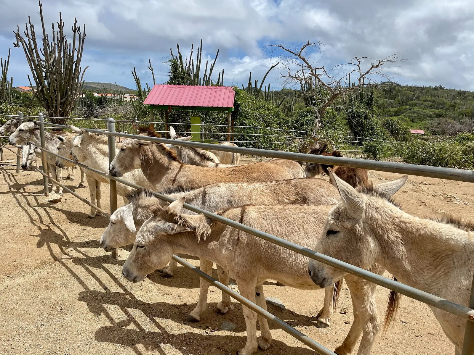
Donkey Sanctuary Aruba
A volunteer-run refuge for 130+ Aruban donkeys at Bringamosa. Open daily 9:00–16:00 except 1 January; no admission fee, donations welcome.
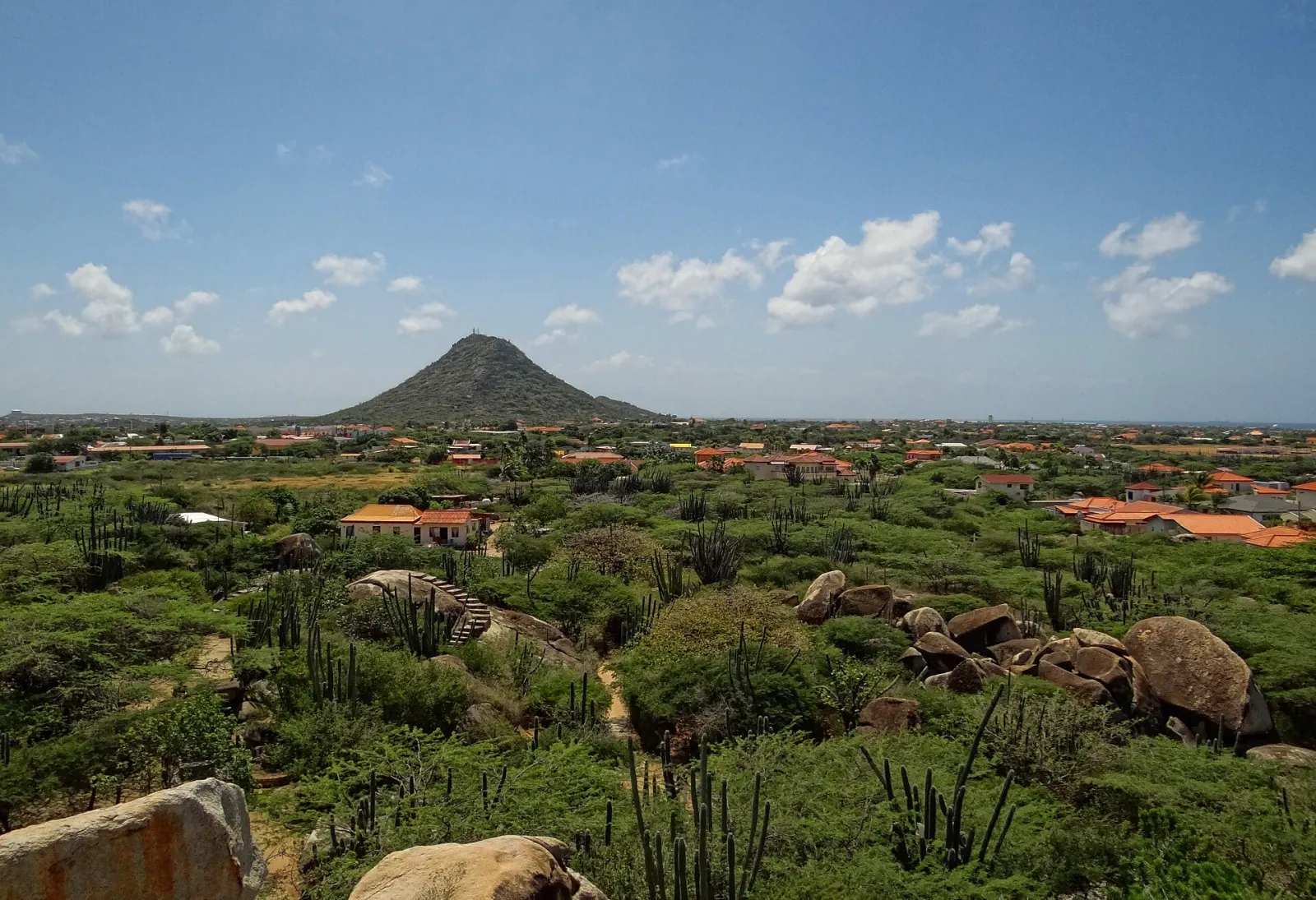
Hooiberg
Aruba's cone-shaped 165 m 'haystack' hill in the middle of the island, climbed by a stairway of roughly 600 steps to a panoramic summit.
Huchada Bakery & Lunchroom
Local bakery in a cunucu house near Santa Cruz, known for pastechi, goat soup and cashew cake; opens at 6 a.m. Monday to Saturday.