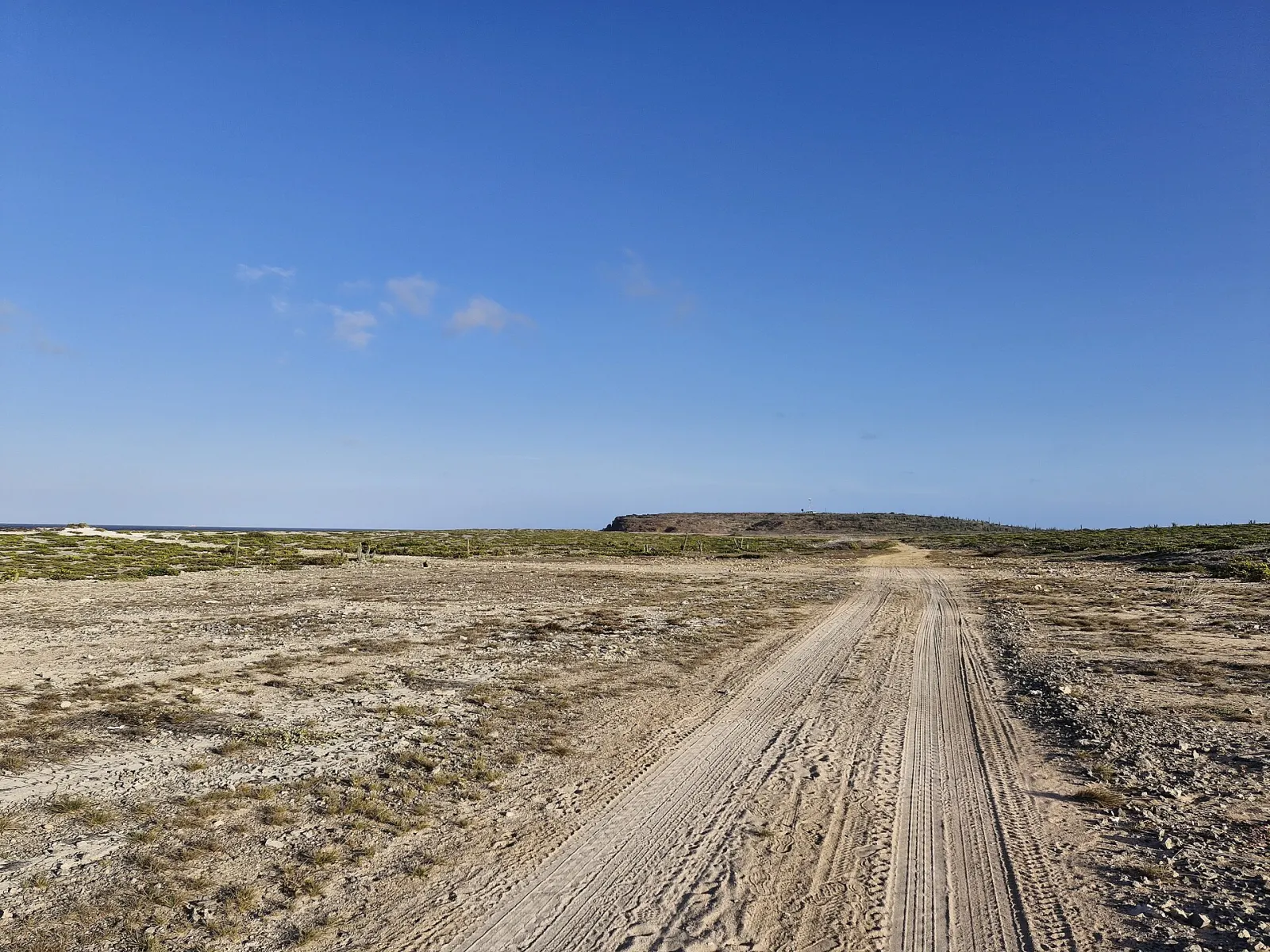
Desert hills, caves & wild coast
Arikok National Park
The protected north-east of Aruba: 34 km² of cactus hills, caves with Amerindian drawings, gold-mine ruins and a wild Atlantic coast with the Natural Pool. Come for hiking, geology and wildlife — with an entry pass, an early start and respect for the rules.
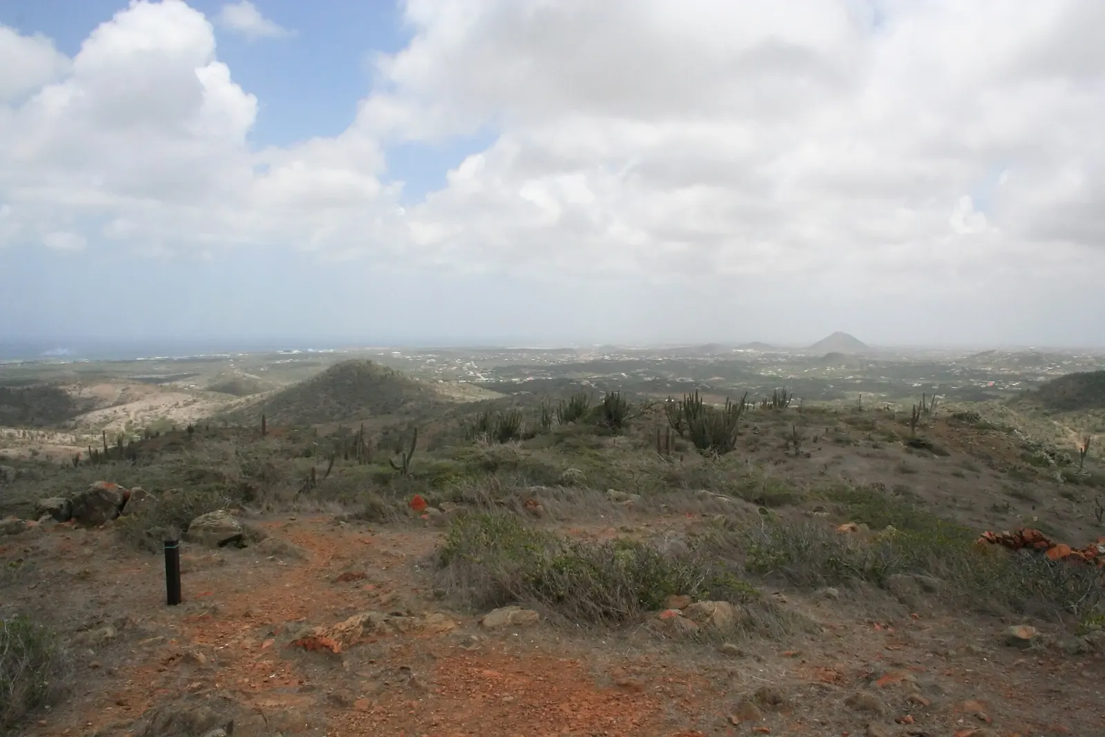
Arikok National Park covers 34 km² of Aruba's north-east — close to a fifth of the island — and protects its driest, wildest landscapes: cactus-covered hills, limestone cliffs, caves and a windswept Atlantic coast. It was established by ministerial order in 2000 and is managed by the Aruba Conservation Foundation (ACF), formerly Fundacion Parke Nacional Aruba. Most of the island's endemic wildlife lives here, and it is the setting for the Natural Pool, the island's most famous off-road destination. For the park's attractions one by one, see our Arikok National Park page.
Do you need a ticket for Arikok?
Yes. A conservation pass is required and is sold at the two visitor centres, San Fuego (near Santa Cruz) and Vader Piet. In 2026 the ACF lists the adult day pass at US$ 22; children under 17 enter free and residents of Aruba, Bonaire and Curaçao get a local discount. The visitor centres are open daily, San Fuego 8:00–15:30 and Vader Piet 8:30–15:00. Prices and hours change — check acf.aw before you go.
What are the park rules visitors most often break?
- No ATVs, UTVs or motorbikes. The ACF prohibits them in protected nature areas because of their impact on the terrain. Plan a jeep or 4×4 tour accordingly and check what vehicle the operator uses.
- No disturbing, collecting or feeding plants or animals — that includes taking stones, shells or cactus pieces home.
- Stay on tracks and trails. Off-track driving damages fragile vegetation and the burrows of the shoco, the endangered burrowing owl.
What is there to see?
- Caves. Fontein Cave holds pre-Columbian Amerindian drawings; after vandalism it was gated and can now be visited only on tours with park staff. Quadirikiri Cave has large chambers lit by holes in the roof, and bats.
- Geology. Three formations meet here: the old Aruba Lava Formation, the diorite of the batholith and younger limestone terraces. Jamanota, at 188 m, is the highest point on the island.
- Gold and farm history. The Miralamar gold-mine ruins date from a mining era that ended in 1916, and Cunucu Arikok preserves an adobe farmhouse and Amerindian rock paintings — one of which became the park's logo.
- The wild coast. Bays such as Boca Prins and Dos Playa are spectacular but are for looking, not swimming, when the surf is up. Dos Playa is one of Aruba's most important sea-turtle nesting beaches, and nests in the park are not marked.
How do you get to the Natural Pool?
The Natural Pool (Conchi, or Cura di Tortuga) is a basin protected from the sea by a ring of volcanic rock. The tourism authority states that it is reachable only by 4×4, on horseback (horseback riding) or on foot — a 3–4 hour round-trip hike for experienced walkers — and standard cars are not permitted beyond the park checkpoints. Swim only when the sea is calm: waves can break over the rocks without warning.
When is the best time to go?
As early as the visitor centres open. Mornings are cooler, the light is better for photographs and wildlife is more active. The ACF schedules its guided hikes for 7:00–8:00 starts for the same reason. By midday the hills offer almost no shade.
Guided or on your own?
You can drive the paved park roads and walk marked trails independently. The ACF also runs ranger-led hikes — Rooi Tambu to Dos Playa, Jamanota Hill, Miralamar and Cunucu Arikok — at US$ 25 per person in 2026, for groups of up to 10. See our Arikok hiking guide for trail choices and what to carry.
Arikok rewards visitors who come prepared: at least 2 litres of water per person, closed shoes, sun protection and a full fuel tank before you leave the main roads.
Arikok National Park
Beaches, sights and food in Arikok National Park
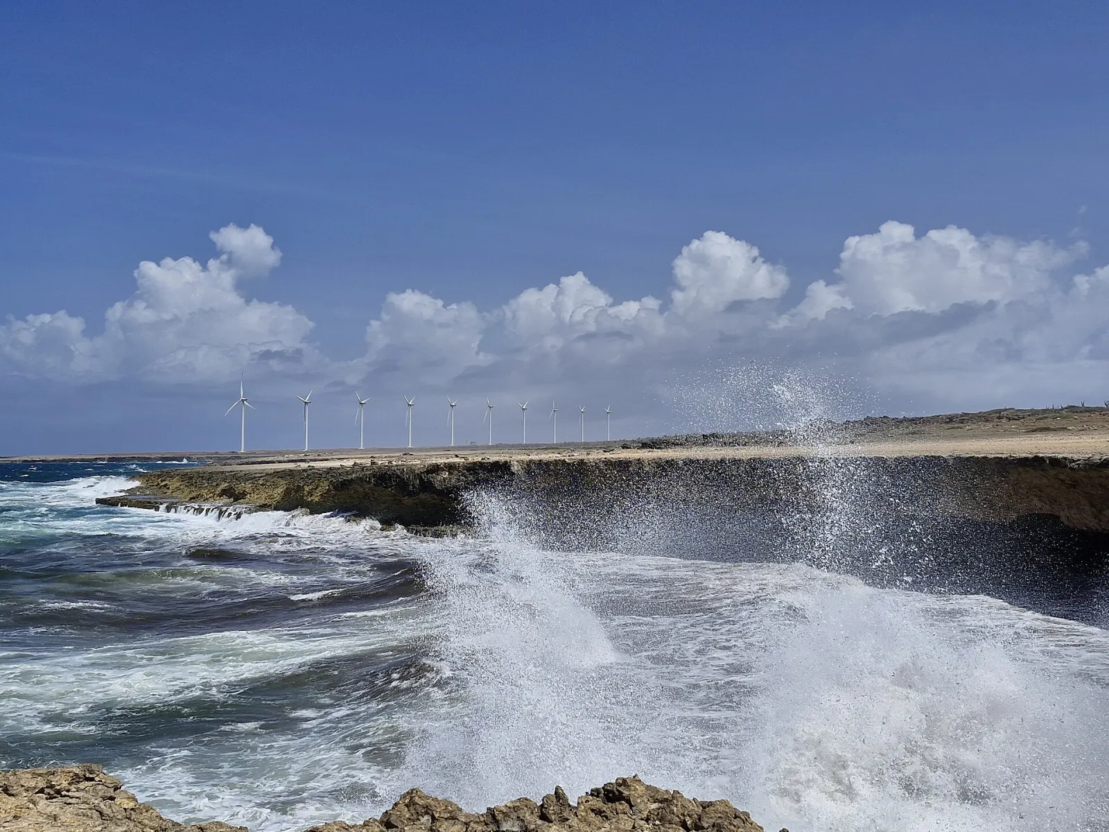
Arikok National Park
34 km² of protected desert hills, caves and wild coast in north-east Aruba. Entry needs a conservation pass: US$22 per adult in 2026, under-17s free.
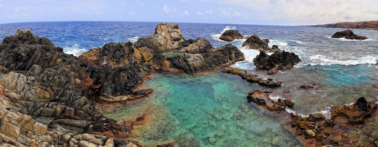
Natural Pool (Conchi)
A sea pool ringed by pillow lava on Arikok's north coast. No ordinary cars: reach it by 4×4, on horseback or on a 3–4 hour return hike.
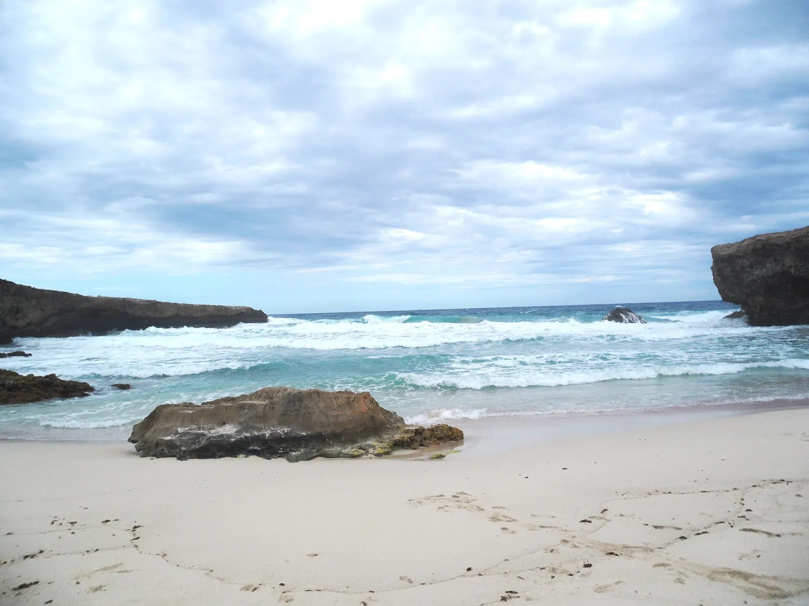
Boca Prins
Dune-backed cove on Arikok's wild north-east coast. Strong, constant undertow: no swimming. Park conservation pass required to enter.
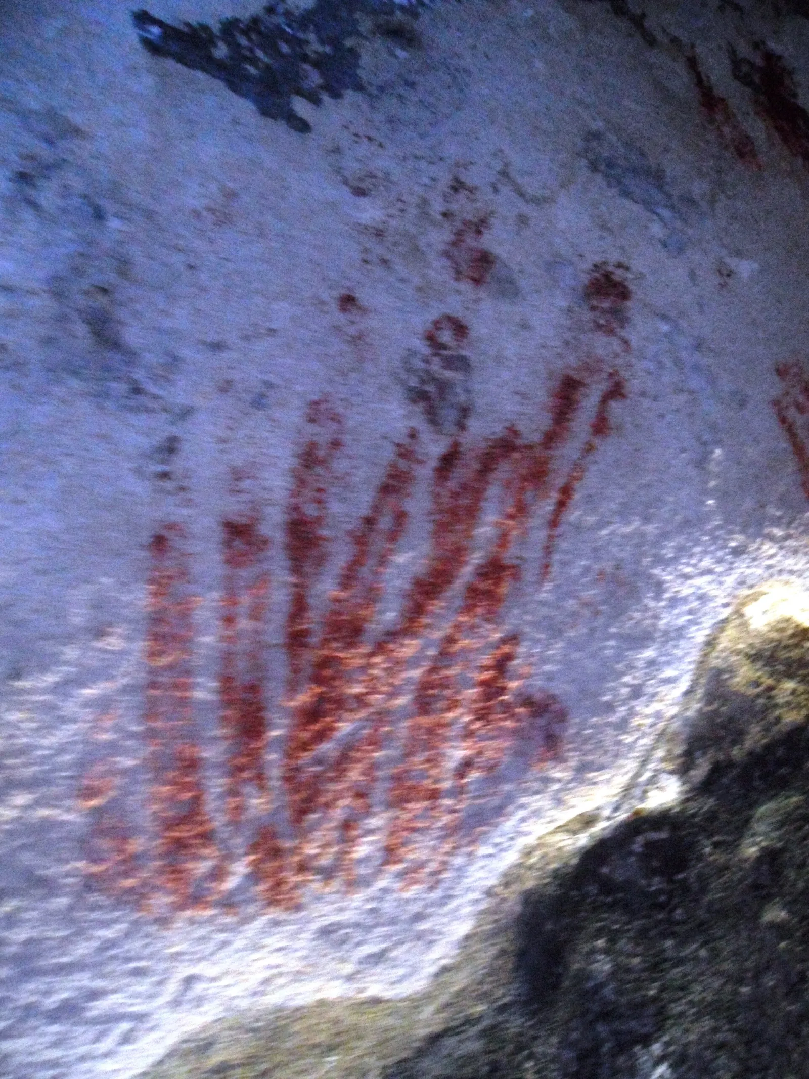
Fontein Cave
A limestone cave in Arikok National Park with Amerindian drawings on its ceiling, gated to protect them; enter with park staff during park hours.
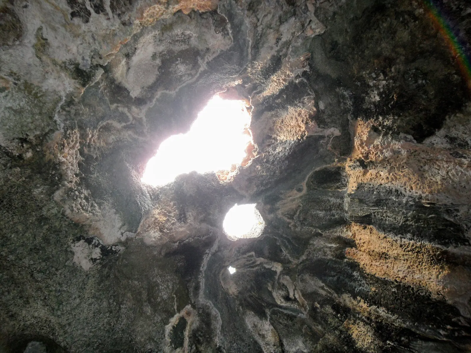
Quadirikiri Cave
Arikok's best-known cave: limestone chambers lit by sunbeams through holes in the roof, home to a large, harmless bat colony.
Things to do
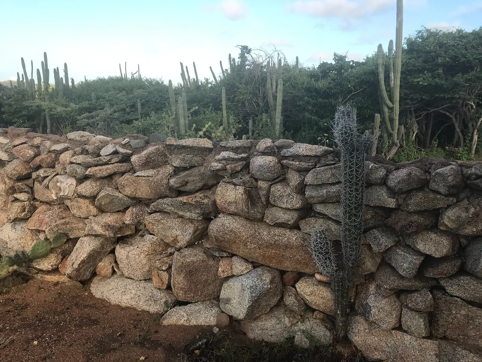
Hiking in Arikok
Trails through Arikok National Park, from the easy Cunucu Arikok loop to Jamanota, Aruba's 188 m high point, with ranger-led hikes, the park pass and heat advice.